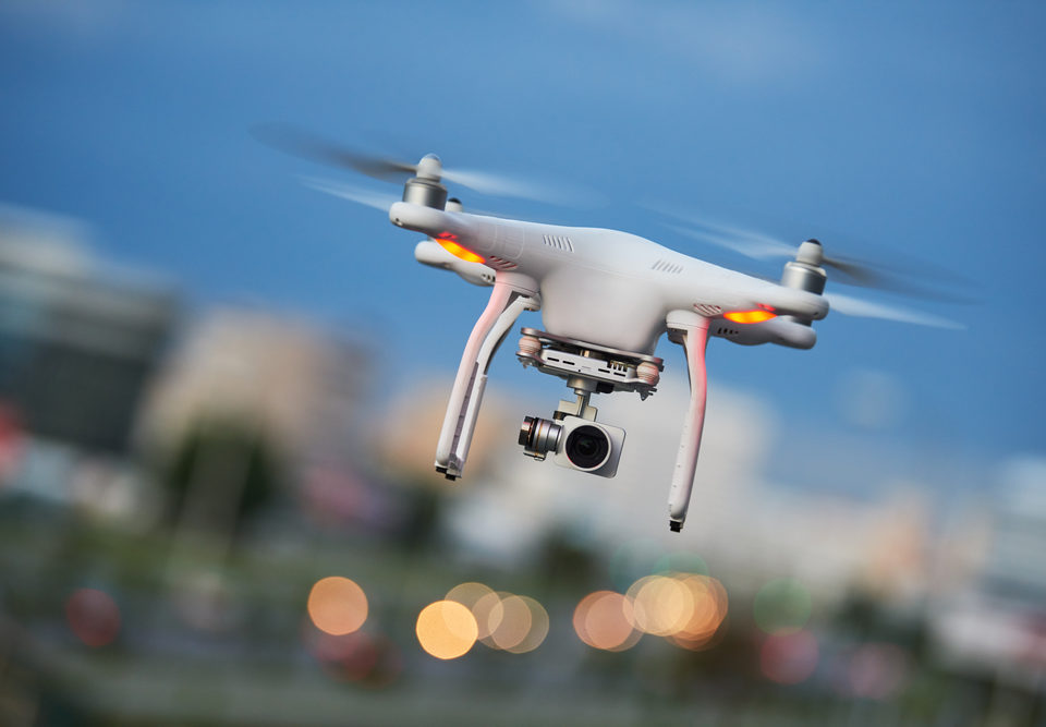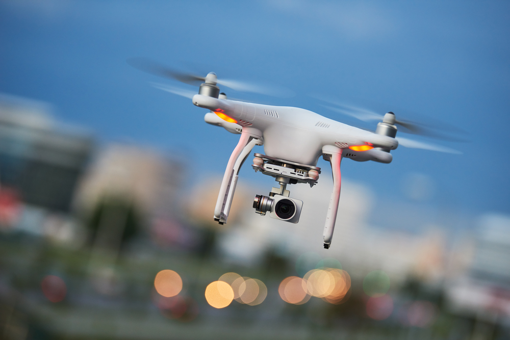
FAA – Regulations for Commercial Drone Operations
May 22, 2022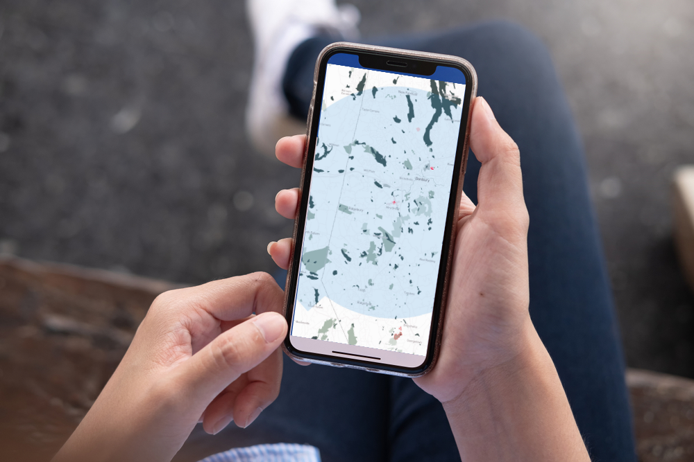
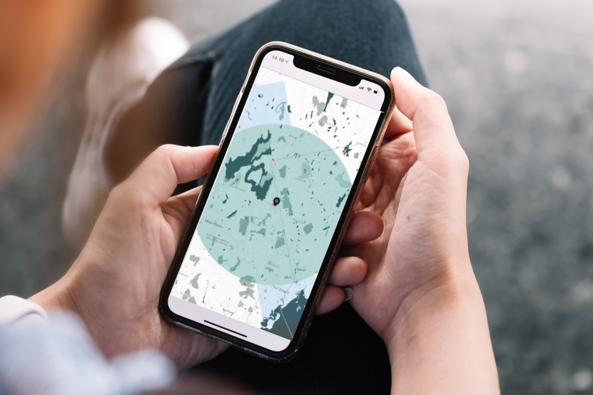
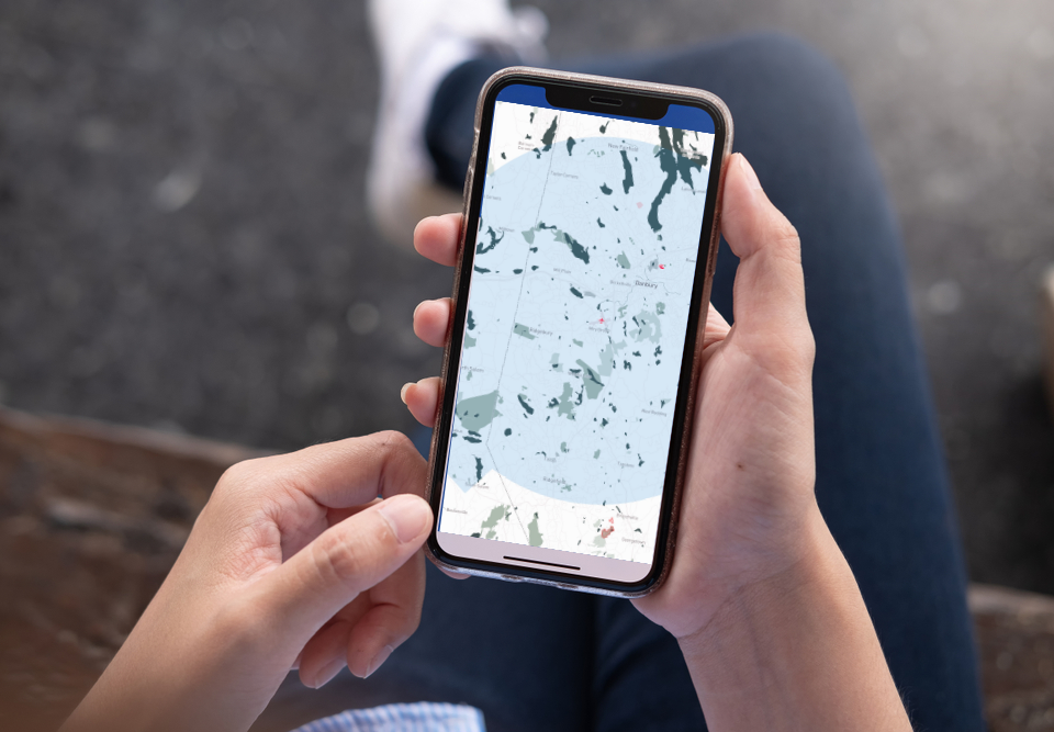
Danbury Municipal Airport Restricted Airspace
May 25, 2022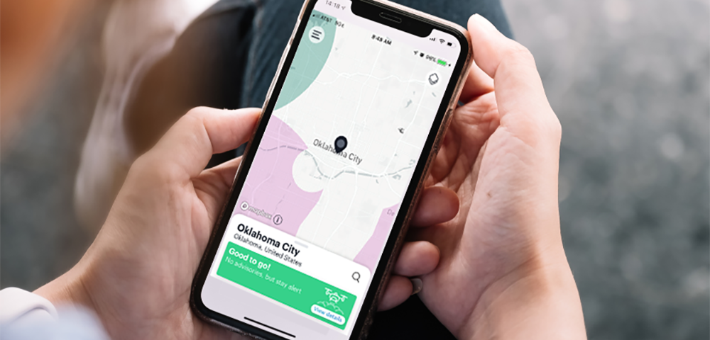
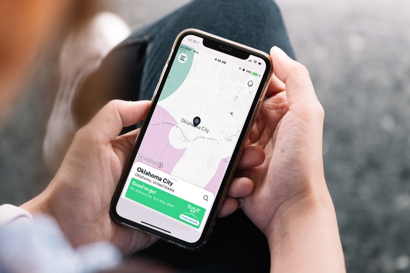
Restricted Airspace - B4UFLY
Almost 40% of the 450 square miles of Westchester County is restricted airspace around Westchester County Airport (HPN) and Danbury Airport (DXR).
Recreational users who only fly their drone for fun, now have an improved app – B4UFLY – to help show where they can and cannot fly with interactive maps. For more information read about the FREE APP B4UFLY on the FAA Website.