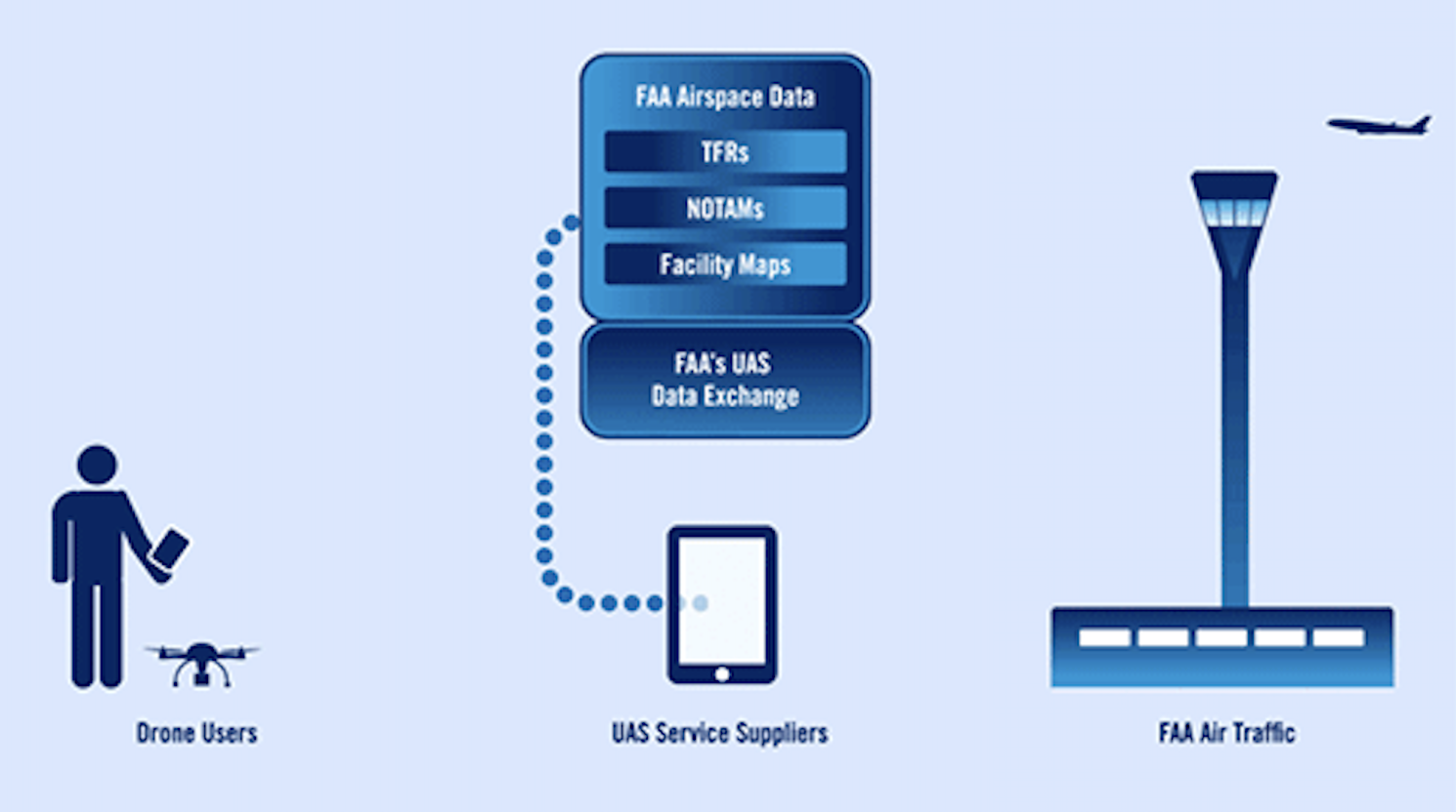
LAANC (Low Altitude Authorization & Notification Capability)
May 19, 2022
FAA By The Numbers
May 20, 2022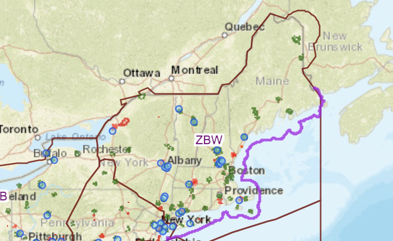
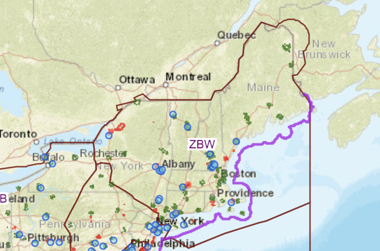
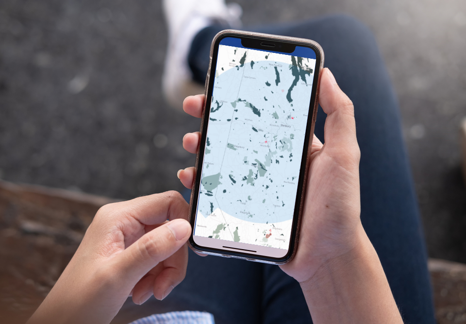
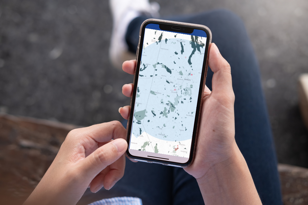
HPN Map Grid for LAANC Operations
UAS Facility Maps
UAS Facility Maps show the maximum altitudes around airports where the FAA may authorize part 107 UAS operations without additional safety analysis. The maps should be used to inform requests for part 107 airspace authorizations and waivers in controlled airspace.
NOTE: These maps DO NOT authorize operations in these areas at the depicted altitudes – they are for informational purposes ONLY. Operators must still apply to operate in controlled airspace (Class B, C, D, or surface area E) by completing a Part 107 Airspace Authorization request in LAANC or the FAA Drone Zone, or a Waiver Application in the FAA DroneZone.
Individuals who request a part 107 airspace waiver and authorization are encouraged to consult the maps prior to submitting a request to determine locations and altitudes that can be approved quickly.
For more information, see Frequently Asked Questions about UAS Facility Maps.
